Geophysical Survey
 |
 |
Geophysical Survey offers a non-intrusive method of archaeological prospection and evaluation which can aid in the discovery of sub-surface archaeology. The main methods of geophysical survey are magnetometry and resistivity although a number of other techniques such as ground penetrating radar is also used.
With risk minimisation a key concern for most developers, geophysical survey can offer a cost-effective way of testing large areas for the presence of sub-surface remains. However, geophysical survey can work with varying degrees of success depending on the type of geology and soil-moisture conditions present.
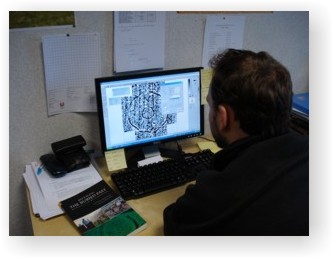
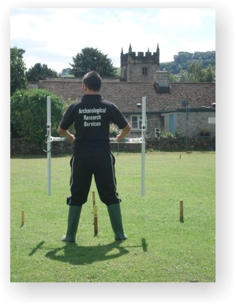
ARS Ltd now offer in-house Geophysical Survey as a service to clients. The majority of the surveys undertaken are gradiometer based using a Bartington Grad 601-2 gradiometer. This equipment allows for the detection of features such as hearths and brick built structures as well as smaller cut features such as pits and ditches.