North-East Rapid Coastal Zone Assessment
 |
 |
 |
Between March 2007 and December 2008 ARS Ltd carried out a desk based rapid coastal zone assessment of the North East Coast on behalf of English Heritage. The project aimed to assess the threat posed to heritage assets on the North East coast by rising sea level and the coastal erosion that happens as a result. The North East Rapid Coastal Zone Assessment, or NERCZA, is one of a series of projects initiated by English Heritage around the coasts of England. The assessment was undertaken throughout with reference to Defra's Shoreline Management Plans, or SMPs. The area extends from Whitby in North Yorkshire to the Anglo-Scottish border north of Berwick-upon-Tweed.
The NERCZA study area consists of approximately 200km of coastline between the Lowest Astronomical Tide (LAT) and 1km inland from Mean High Water Springs (MHWS), and includes Coquet Island and the Farne Islands, which lie offshore, and Holy Island which is joined to the mainland at low tide by a causeway. The review of the coastline and the decision on which areas merit the most attention was based on two different data sets. The first consists of the Historic Environment Records (HERs). These are maintained by or for Local Authorities across the country and include information about historic buildings and sites for that particular area. For the NWRCZA project the HERs that were consulted were North Yorkshire County Council, the North York Moors National Park Authority, Tees Archaeology (for Redcar and Cleveland, Middlesbrough, Stockton-on-Tees and Hartlepool), Durham County Council, Tyne and Wear Specialist Conservation Team (for South Tyneside and North Tyneside) and Northumberland County Council. The second data set consists of the aerial photograph coverage of the study area from which all archaeological features visible have been mapped to the standards of English Heritage’s National Mapping Programme. The aerial photograph coverage for 400km2 has been examined and 968 new records have been added to the HERs while 270 existing records have been enhanced. These two main data sets have been supplemented by reference to the National Monuments Record.
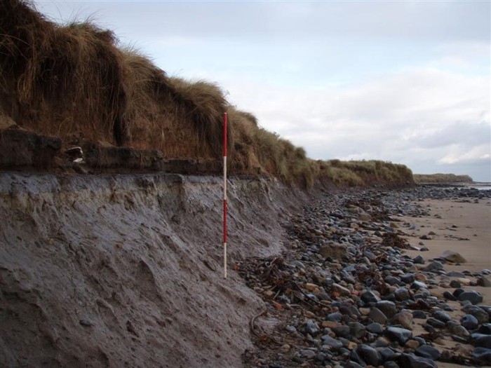
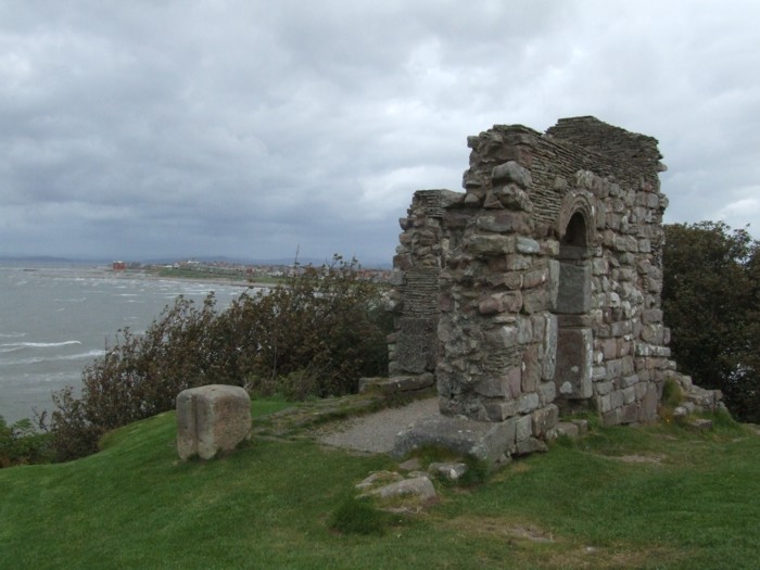
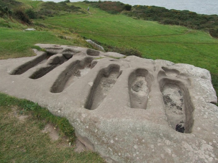
The NERCZA study has established that many important sites in the coastal zone are under threat from rising sea level and/or the mitigation strategies proposed. The threat is particularly serious in the case of those sites currently situated between LAT and within 200m inland of MHWS. Many of these sites are port and harbour facilities, aids to navigation, shipwrecks and the military defence of the coast but also includes features of the Terrestrial Landscape which happen to be close to the coast such as the North Yorkshire alum works, two multivallate forts in Northumberland, Bronze Age burials at Low Hauxley and Trow Point and early prehistoric flint scatter sites in County Durham. It is also the case that important inter-tidal peat deposits and old ground surfaces below coastal dunes are particularly vulnerable such as those at Creswell and Low Hauxley on Druridge Bay.
In carrying out the assessment it has been noted that a number of categories of asset are as yet poorly understood making an evaluation of the threat difficult. Examples include the archaeology of pre-industrial shipbuilding, the development of small harbours, the fishing and whaling industries, early land reclamation and the recreational use of the ‘sea side’.
PDF versions of the NERCZA report: